Research pathway
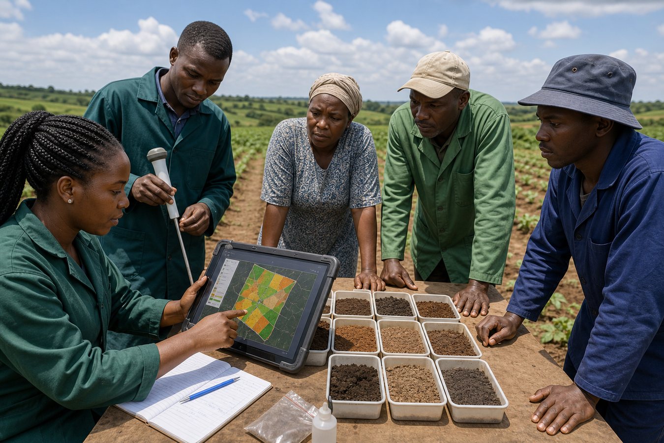
How EarthGuard turns evidence into action
- Map farm boundaries, soil zones, crop history, and water points
- Combine soil sampling, GIS layers, field photos, and farmer observations
- Generate practical guidance for crop choice, amendments, irrigation, and monitoring
- Produce dashboards and partner reports that support extension and funding decisions