How it works

From soil data to farmer decisions

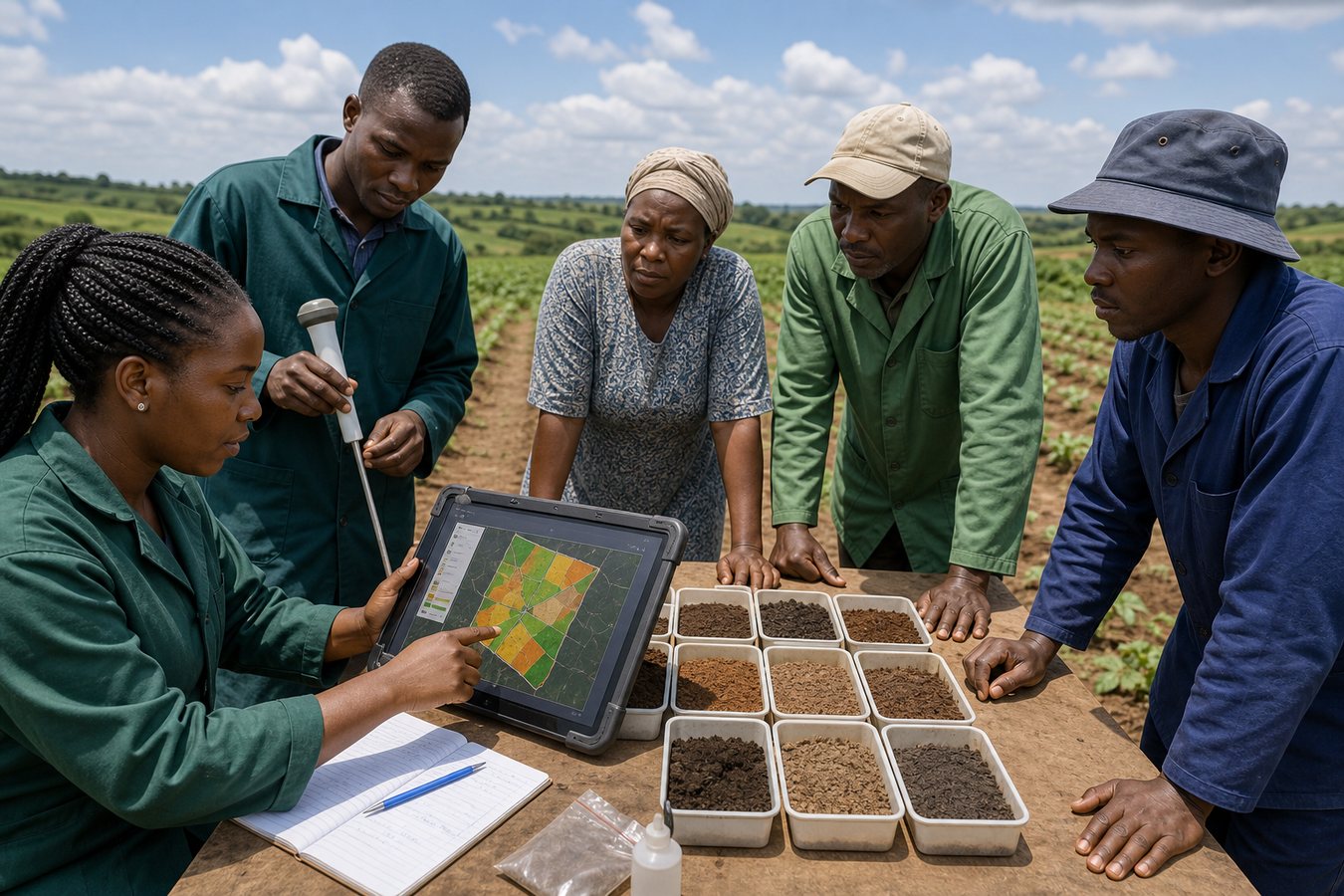
Soil intelligence connects sampling, local knowledge, maps, and agronomic interpretation so recommendations are specific enough for real farms.

  • Map farms, sampling points, crop history, and water access.
  • Collect soil observations and laboratory or field-test data where available.
  • Use AI and GIS to interpret soil health patterns and crop suitability.
  • Share farmer-friendly recommendations through reports, dashboards, and training.
Soil samples, soil probe, and GIS farm map for AI soil health mapping

Primary hub: Research, Data, and Innovation Hub

Soil intelligence

AI soil health mapping

A localised innovation combining AI, GIS, and soil science to turn field observations, soil data, and maps into practical soil health guidance for farmers.

Sampling

Know the soil first

Field teams collect soil observations, sampling points, and farmer context before recommendations are made.

Mapping

GIS farm intelligence

Farm boundaries, slope, water access, crop history, and soil variation are mapped for better decisions.

AI guidance

Actionable recommendations

AI-supported interpretation helps farmers choose crops, amendments, irrigation strategies, and soil care actions.

Reporting

Partner-ready evidence

Dashboards and reports help extension teams, researchers, and funders understand field conditions.

Core components

  • Farm mapping and GIS layers
  • Soil sampling and field observations
  • Crop suitability and fertility guidance
  • Water and amendment recommendations
  • Partner dashboards and field reports
  • Training support for extension teams

Who can use it

  • Farmers and producer groups
  • County and extension officers
  • Universities and researchers
  • Donor-funded agriculture programs
  • Schools with demonstration farms

Impact logic

Better soil decisions before farmers spend money

The model reduces guesswork by helping farmers understand the soil, choose better crops, use amendments more wisely, and plan water use.

Map

Locate the field reality

Farm boundaries, soil zones, water points, and crop history.

Analyze

Interpret soil health

AI, GIS, and soil science turn data into guidance.

Advise

Guide action

Crop choice, amendments, irrigation, and monitoring plans.

Project partnership

Use AI soil health mapping as a demonstration site, research pilot, or funded community support model

Partner on this project